A local guide · Santa Barbara, California

What is actually planned for State Street?

There is a lot of argument about downtown. Start with what the adopted plan says, what it leaves open, and what still has to happen.

Independent guide by Brian Galura / Zero Conjecture.
Based on the adopted September 2026 plan. Sources checked October 11, 2026.

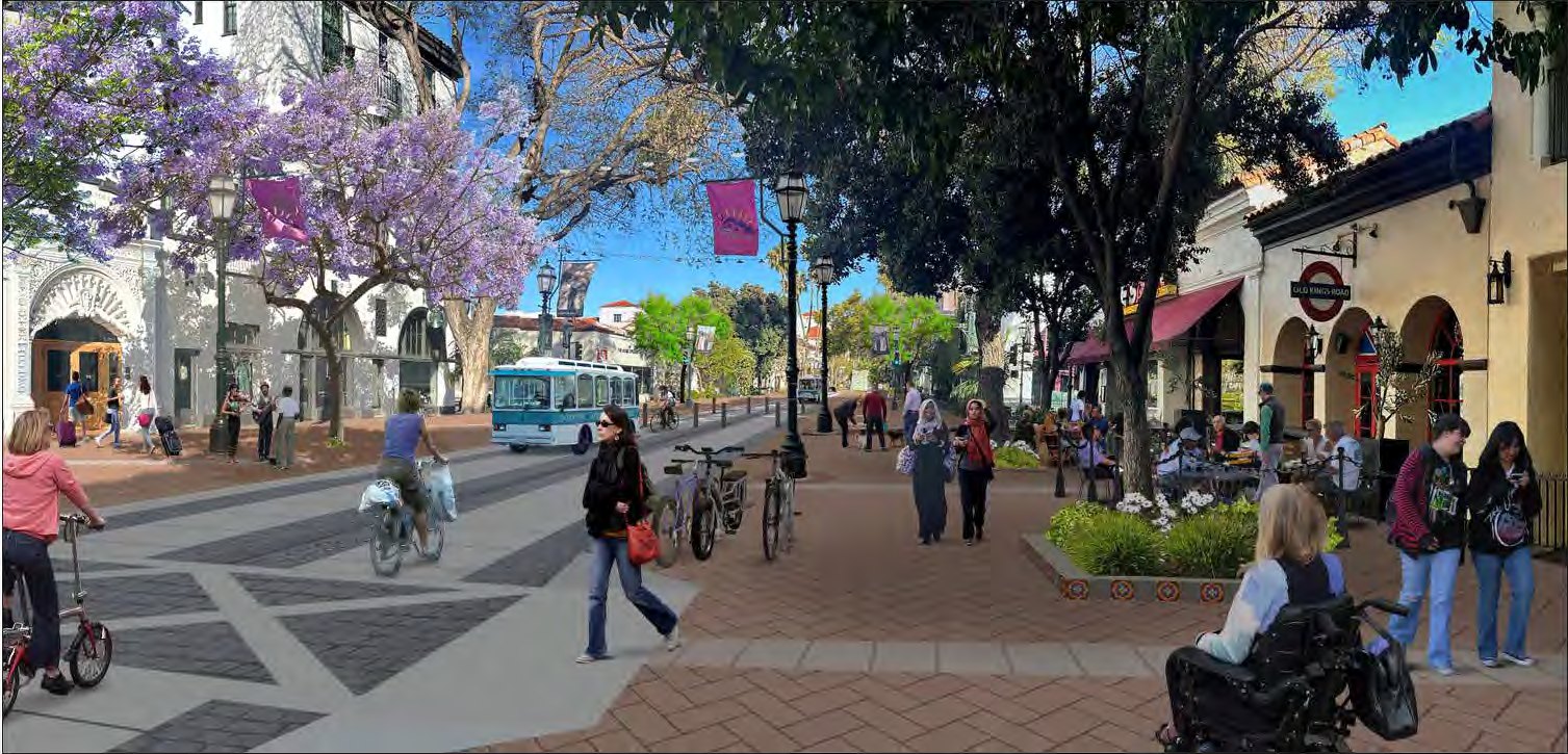
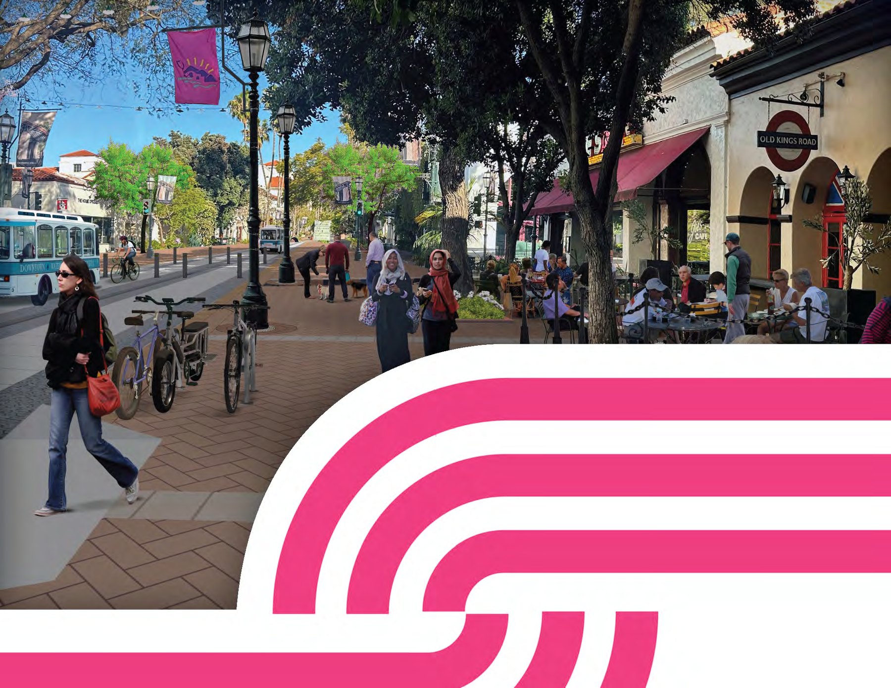
The plan’s conceptual rendering of State Street with trees, people, and a central travel lane
One possible future, not a finished design.
City of Santa Barbara / Moule & Polyzoides · Plan p. 131 ↗
The decisionA long-range plan is adopted.

The City is seeking funding to implement it. Adoption does not make every proposal funded or built. City update, Sept. 21 ↗

The streetPeople first, with flexible access.

The design combines pedestrian space with bikes, transit, emergency access, and timed vehicle access. Plan pp. 18–20 ↗

The next stepsDesign, financing, and operations.

Construction details, access hours, and delivery schedules still need decisions. Plan p. 171 ↗

01 / Find your part of downtown

One street.
Three different places.

Choose a district. See its proposed role, how access works, and where it appears in the plan.

Sola Street / toward the mountains
Gutierrez Street / toward the waterfront

Schematic, not to scale. District boundaries follow the plan’s block ranges.

700–900 blocks / Ortega → Carrillo

Make the middle of downtown a place to stay.

The priority area for intervention. A flexible plaza, shade trees, markets, and events are intended to connect the active ends of downtown. Stormwater work is part of the proposed reconstruction.

Vehicle access
The proposed central lanes accommodate bikes, transit, emergency access, and other vehicles during specified hours. Council would set the schedule.
Proposed sequence
Temporary sidewalk pilots in Phase 1. Permanent reconstruction and stormwater work in Phase 2.

02 / The design in plain language

The same space.
Different uses.

The proposed typical cross-section is about 80 feet wide. The center changes its use, not its width.

Illustration of the plan, not today’s operating schedule
30 ftPedestrian spaceDining · walking · shade · seating
2 × 10 ftBikes + transitEmergency access maintained
30 ftPedestrian spaceSeating · shade · walking · dining

With bollards raised, pedestrians and cyclists have priority. Transit and small shuttles would use technology to retract them. Emergency access is maintained at all times.

The exact access hours are to be set by Council once construction is complete. This diagram shows the typical proposal; the 400 and 1300 blocks have different access arrangements.

03 / Slow the argument down

Check the claim.
Then check the page.

These are questions to test against the document. Disagreement over a tradeoff is different from a claim about what the plan contains.

01“The plan bans every car.”

That leaves out the access design.

It prioritizes pedestrians and cyclists, with timed vehicle access controlled by retractable bollards. The 400 and 1300 blocks retain two-way access. The exact operating hours are a later Council decision.

Open question: the final access schedule and how it will work in practice.

02“Nobody knows what it costs.”

There are estimates. They need context.

Page 163 lists pre-construction, engineering, and construction estimates. Page 165 gives a separate phase budget. These are planning estimates, and the two presentations do not produce the same total.

Open question: the reconciled project budget and approved financing.

03“Adopted means construction starts now.”

Adoption is one step in a longer process.

Design, engineering, environmental review, utility coordination, staffing, and financing still precede construction. The City’s September 21 update says it is seeking funding.

Open question: funded milestones and a construction start date.

04“It is just a streetscape makeover.”

Infrastructure is part of the plan.

The proposals include stormwater capture, utility coordination, transit, public restrooms, business support, and housing capacity. New paving and trees are only part of the scope.

Open question: feasibility, detailed designs, and which proposals receive funding.

This guide explains the adopted plan. It does not establish the status or legal effect of a petition, referendum, ordinance, or later Council action. Check the City’s current records for those questions.

04 / Money and timing

Estimates are real.
So are the open questions.

The document presents costs in two ways. Keeping the labels attached matters.

Page 163 / component sum$96.02million

Calculated here from the three listed components. A planning estimate, not a funded contract price.

Read the cost breakdown ↗
Pre-construction (PE + RW)$17.508M
Construction engineering$10.241M
Construction + contingencies$68.271M

About $17.538M of utility relocation and replacement is already included in construction and contingencies. Adding it again would double count it.

Why does the phase table add up to $102M?

Page 165 gives infrastructure estimates of $17M, $60M, and $25M across the three phases. Those add to $102M. It separately lists annual costs for programming, policy, and economic development of $500K, $1.5M, and $1M during the respective phases.

The document does not explicitly reconcile that phase table with the page 163 construction breakdown. This guide leaves both visible rather than inventing an explanation or combining them into a new total.

Compare the phase table, p. 165 ↗
01 / Activate & stabilize

Pilots and preparation

Sidewalk extensions, wayfinding, paseo lighting, transit evaluation, business support, design, and financing.

Timing differs in the plan: first year on p. 164; Years 1–3 on p. 166.Read Phase 1 ↗
02 / Reconstruct & invest

The major construction

Civic and Commercial District, Entertainment District, stormwater, and bollard infrastructure.

Proposed Years 2–4. Dependent on financing and project delivery.Read Phase 2 ↗
03 / Sustain & connect

Extend and maintain

Arts District improvements, cultural activity, long-term stewardship, and monitoring.

Proposed Years 4–6. These are relative phases, not promised calendar dates.Read Phase 3 ↗

Page 162 recommends no more than five years for construction activities. Page 164 outlines a six-year implementation sequence. Construction and broader implementation are different scopes; neither is a confirmed opening date.

05 / Picture the proposal

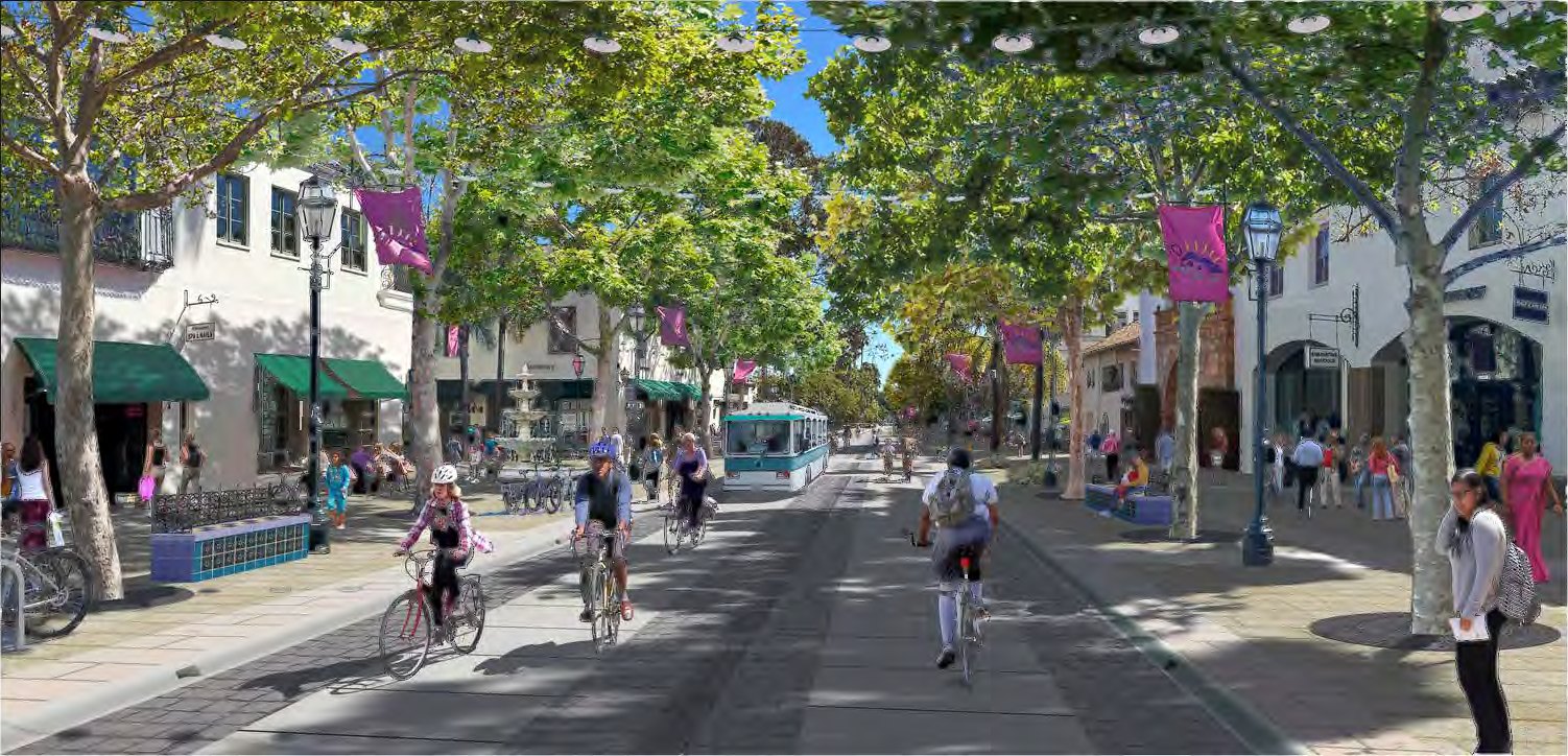
What it could look like.

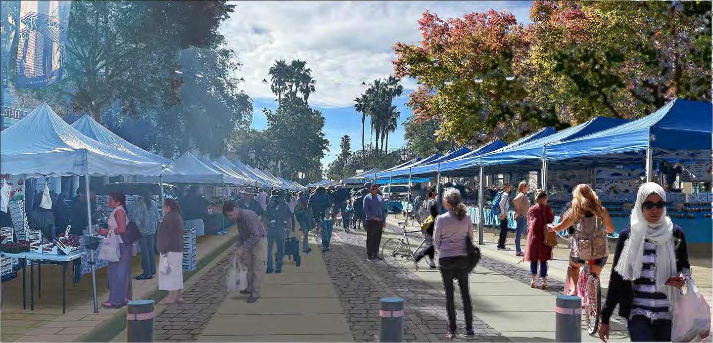
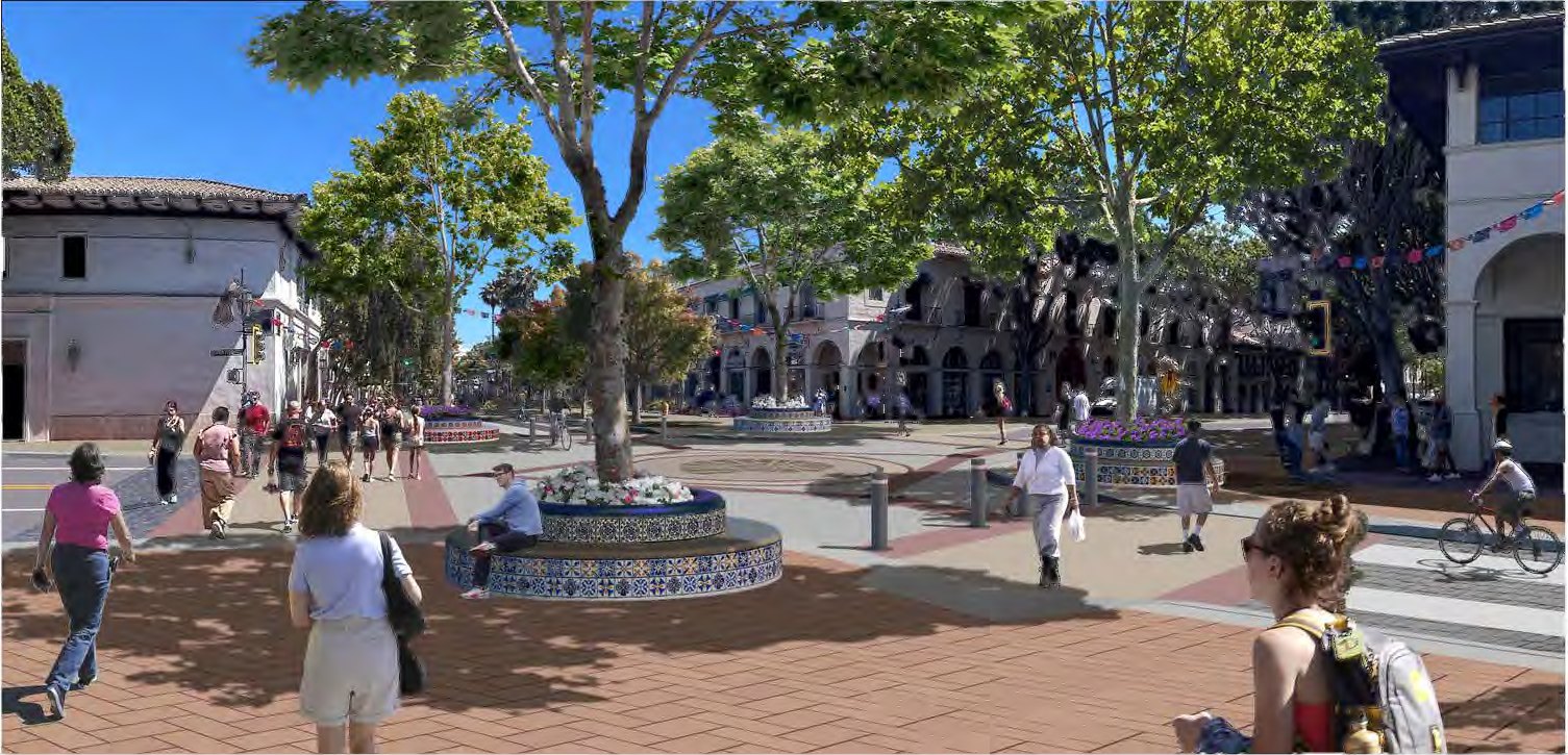
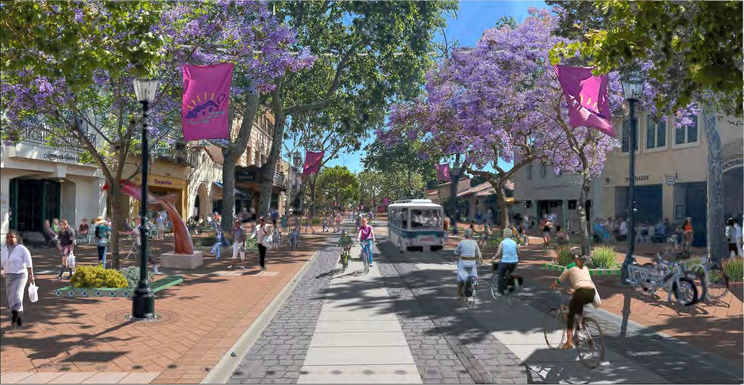
Conceptual renderings from the City’s plan. Open an image to look closer. These depict design intent, not approved construction details.

Images: City of Santa Barbara and its design team, Moule & Polyzoides. All rights remain with their owners.

06 / Read past the summary

The evidence is
part of the interface.

Search the adopted plan’s extracted text. Results are source excerpts, not generated answers. Open the original page to check context, tables, and figures.

327 extracted text passages. Extraction can miss formatting and image content. A search with no match does not prove the plan is silent on a topic.

Why this exists

A public document should be usable.

I wanted a way to explore the State Street plan without losing the source behind a tidy summary. This is also a working example of how a long document can become an interface: a place to navigate, compare, and check the evidence.

You can support the plan, oppose it, or still be deciding. The facts and the open questions should be easier to find.

Independent educational project. Not a City publication. Summaries and illustrations are interpretations; the adopted document is the reference. Funding status reflects the City’s September 21 update, not a live budget feed.